|
Earth Data |
Satellite/Spacecraft |
Satellite Instrument |
|
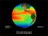
NOAA Meterological Satellites POES NOAA-14 and NOAA-15 |
Global Area Coverage Advanced Very-High Resolution Radiometer (AVHRR) data |
|
|
Sea Surface Temp. Anomaly (SST anomaly) temperature differences over a 30 year average |
NOAA Meterological Satellites POES NOAA-14 and NOAA-15 |
Global Area Coverage Advanced Very-High Resolution Radiometer (AVHRR) data |
|
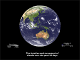
Clouds |
A composit of 5 satellites covering different parts of the Earth: GOES 8: North and South America, GOES 9: NW United States and the Pacific Ocean, Meteosat: Europe, the Middle East, and Africa, FY-2: Central Asia and Australia, and GMS-5: Asia and the South Pacific. |
Visible and IR channels |
|
Water Vapor |
Same as clouds |
IR channels |
|
Rainfall |
Tropical Rainfall Measuring Mission (TRMM) |
3B42 or 3B40 when 3B42 is unavailable. 3B40 is a merger of all available SSM/I and TMI microwave precipitation estimates. The 3B42 is a merger of microwave plus estimates from geostationary infrared (IR) observations |
|
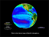
Biosphere |
SeaStar |
SeaWiFS Ocean Chlorophyll and Normalized Derived Vegetation Index (NDVI) |
|
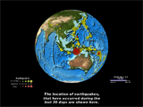
Earthquakes |
United States Geological Survey’s (USGS) National Earthquake Information Center |
|


